 fire.
Forestry agencies
Generated image
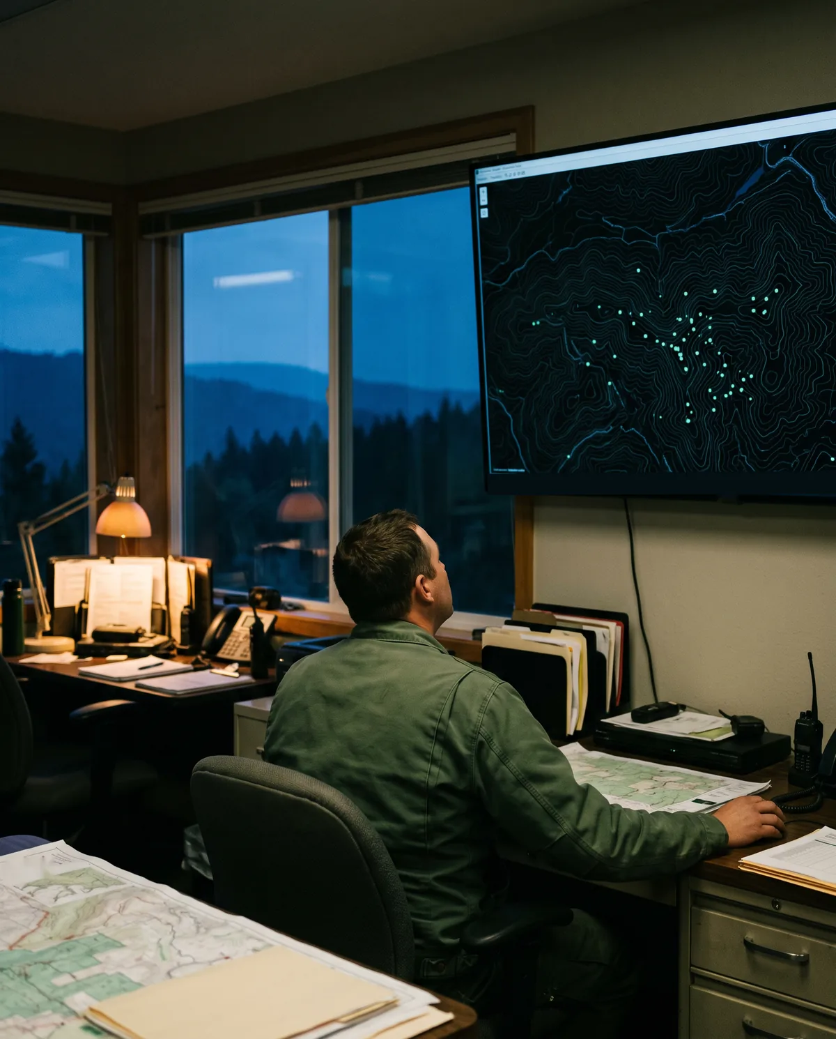
See every ridge of a district on one map, and wake a crew only for a confirmed fire.
Autonomous drones that watch every hillside, day and night.
Concept · 142 km² watched
Platform

6 docks · 3 in the air
Valley · now
● Patrol windows · now 21:40
Concept demo · figures are illustrative
How it works
One alert, in five steps: drones patrol at dusk; a thermal hotspot appears on Ridge 4; the nearest drone flies over to confirm it with its camera; confirmed coordinates go to the crew base; the drone stays until the ground is cold. All figures are a concept demo.

Patrolling, 3 drones, 21:40.
Three views
Concept demo · illustrative data
Terrain. Contours, forest and water: where the drones can fly and where the crews can reach.
The dock and the drone
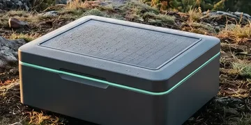
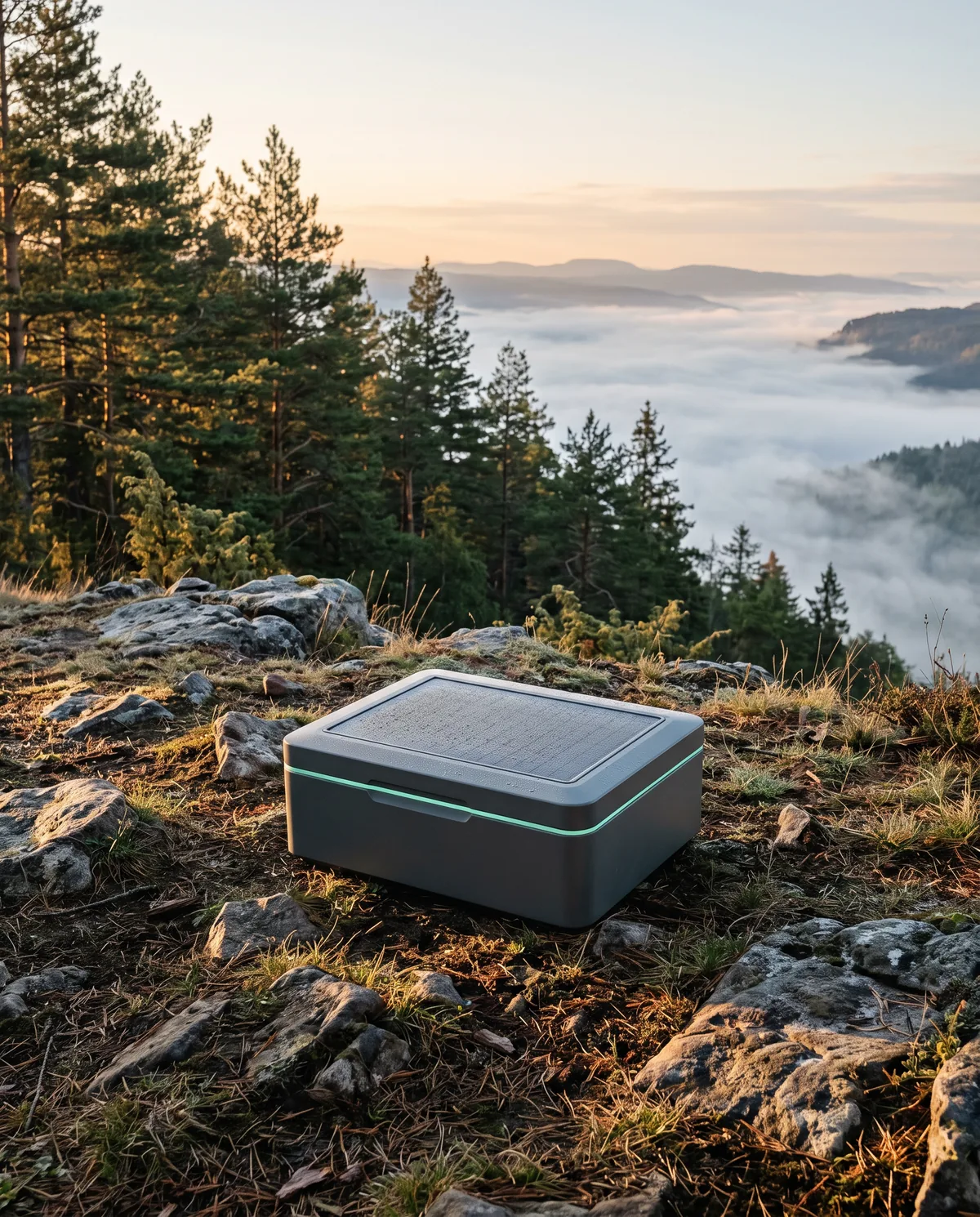
After every patrol the drone lands in its dock, the lid closes, and the panels on top charge it for the next loop.
Thermal + visual
One gimbal, two lenses
A thermal camera finds heat; the visual camera confirms what it is.
40-minute patrols
≈ 18 km per loop
Dawn, dusk and after every lightning strike.
Weatherproof dock
Rain, snow, wind
Sealed lid and heated landing pad; it waits out a storm.
Solar charging
Panels on the lid
The lid's panels charge the drone between patrols, off-grid.
Concept specs
Who it's for
Generated image
See every ridge of a district on one map, and wake a crew only for a confirmed fire.
Generated image
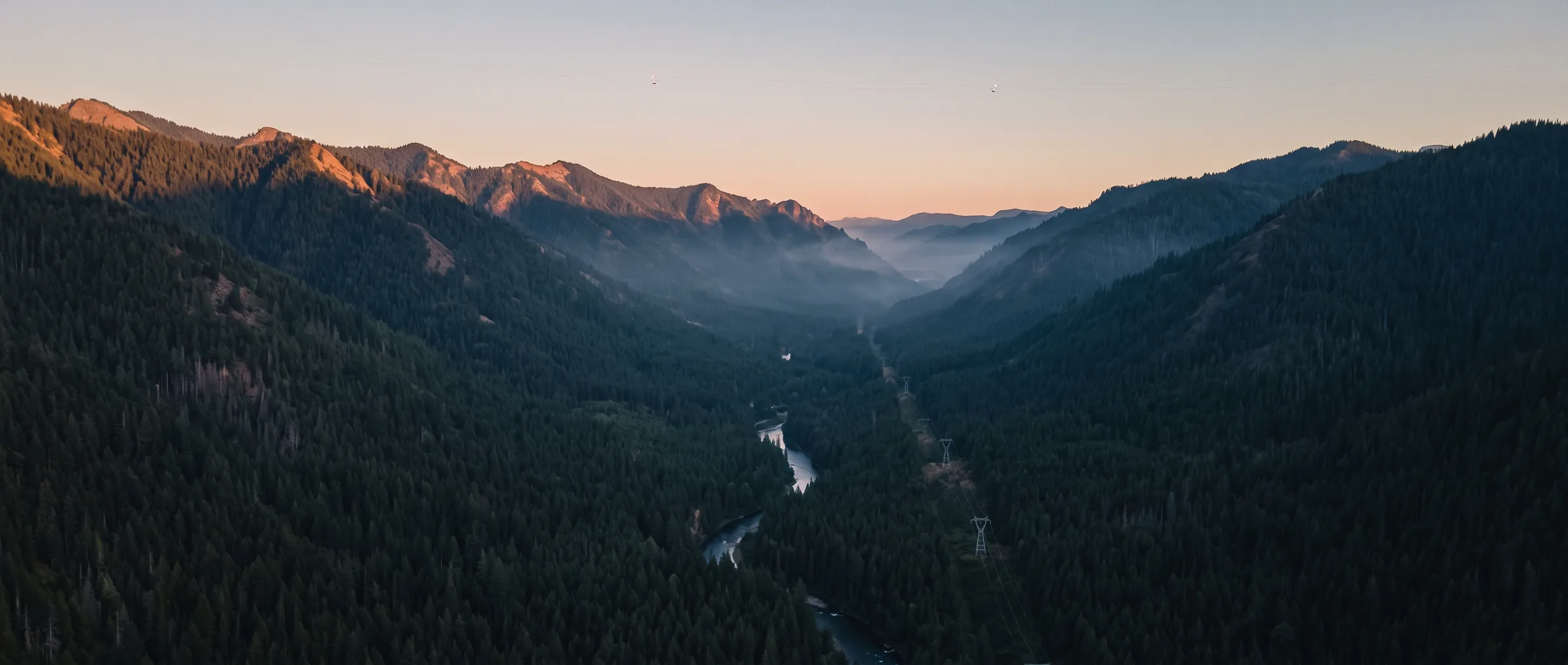
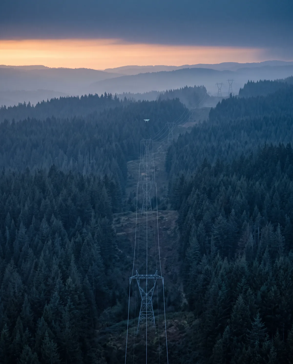
Patrol the line corridors through forest on hot, windy nights, without sending a truck.
Generated image
One dock per valley watches the land you can't walk every evening.
Fits your dispatch
A confirmed alert goes out as a text message, a row on the dispatch desk and an API event, all with the same coordinates.
Text message
Orbit
21:49
ORBIT ALERT · confirmed hotspot
Ridge 4 · 42.31 N, 1.12 E
61 °C · watched by D-04
Reply 1 to acknowledge
Dispatch desk
| Time | Location | Type | Status | Unit |
|---|---|---|---|---|
| 21:49 | Ridge 4 | Hotspot | Confirmed | Crew 2 |
| 19:31 | West bench | Lightning | Patrolled | — |
API event
{
  "event": "hotspot.confirmed",
  "time": "21:49:06",
  "place": "Ridge 4",
  "lat": 42.31, "lon": 1.12,
  "temp_c": 61,
  "drone": "D-04",
  "feed": "…/d-04/live"
}
Concept demo · illustrative message, row and event
In numbers
FAQ
Yes. The thermal camera doesn't need daylight, and night is when a smouldering spot shows most clearly against cool ground. Dusk and dawn patrols are the default; operators can add night loops.
The drone stays in its sealed dock when wind or rain is beyond its limits, and the console shows which loops are paused and why. Patrols resume on their own when conditions allow.
A heat reading alone never wakes a crew. The nearest drone flies over to look with both cameras first; only a confirmed hotspot becomes an alert, with the images attached.
In this concept, drones fly fixed loops that the operator has cleared with the aviation authority beforehand. A real deployment would need those permissions in every region it covers.
The cameras look for heat, not people. In this concept, footage is kept only for confirmed alerts, and the loops avoid homes where the operator marks them as no-film zones.
Nothing: Orbit is a design concept by Nova Digital Studio, not a product you can buy. The numbers on this page are illustrative.
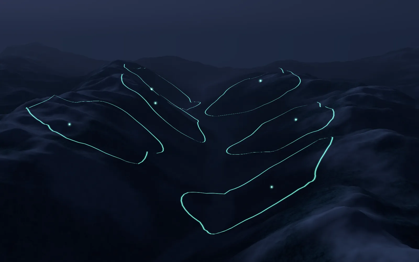
Six docks, six loops, one quiet valley at night.
Concept demo · computer-generated